
Keyword
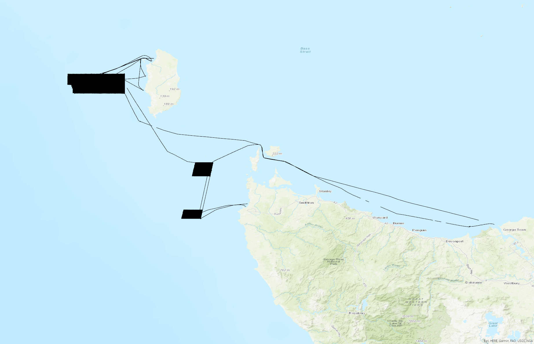
Marine Features (Australia) | Bass Strait, TAS/VIC
285 record(s)
Type of resources
Topics
Keywords
Contact for the resource
Provided by
Formats
Update frequencies
Status
draft
-
This record contains fisheries statistics, History of Marine Animal Populations, trawling, overfishing from the Australian fishing industry between 1951 and 1957.
-
This record contains fisheries statistics, History of Marine Animal Populations, trawling, overfishing from the Australian fishing industry between 1937 and 1943.
-
These data, reported in various volumes of CSIRO's "Oceanographic Station List" series between 1957 and 1962, comprise mainly measurements of surface temperature, salinity (as chlorinity), and (in later stages) phosphate from sea surface samples collected by merchant ships in Bass Strait and surrounding waters. Vessels contributing t the sampling program include TSS "Taroona" and "Princess of Tasmania, SS "Talune", and MVs "Claire Crouch", "Denman", Century", "Jillian Crouch", "Lorinna", "Marra", "Pateena", "Poolta", "Risdon", and "Wareatea". Sampling began in December 1954 and was still in progress December 1960, the last date for which data were published in this series. The merchant vessel sampling program was carried out at a time when the CSIRO Division of Fisheries had no dedicated ocean-going research vessel, as a means of acquiring information about offshore waters. In the volumes cited, similar data are also reported from the Coral Sea, Tasman Sea, and the south-east Indian Ocean.
-
This record describes multibeam echosounder data collected on RV Investigator voyage IN2017_C02, ['Hogan Group Hydrographic Survey – Bass Strait'] which departed Hobart on the 4th May 2017 and came alongside Bell Bay following completion of the survey on the 14th May 2017. The Kongsberg EM2040c multibeam echo sounder (dual transceivers) was used to acquire seafloor bathymetry and backscatter information [(and watercolumn backscatter)] around Bass Strait. The EM2040c provides a 1.3° by 1.3° transmit and receive angular resolution respectively (single transceiver). The echosounder's nominal frequency range was [300 kHz] and it was operated in dual swath mode. Data are stored in *.all raw format for bathymetry and backscatter and *.wcd format for watercolumn backscatter at CSIRO. There are 435 files totalling 99 GB of raw .all data in the dataset. Sound velocity profiles were applied to this data during data acquisition. Bathymetry data contained in *.all format are corrected for motion and position. Tide corrections were applied to the processed data. Processed data has had outliers removed. Processed line data are not available in *.gsf and ascii format, but can be requested if required. Additional information regarding this dataset, including further information on processing streams, is contained in the GSM data acquisition and processing report. Additional data products may be available on request. The raw data is offline but is available on request.
-
This record describes multibeam echosounder data collected on RV Investigator voyage IN2017_C02, ['Hogan Group Hydrographic Survey – Bass Strait'] which departed Hobart on the 4th May 2017 and came alongside Bell Bay following completion of the survey on the 14th May 2017. The Kongsberg EM710 MKII multibeam echosounder was used to acquire seafloor bathymetry and backscatter information [and watercolumn backscatter] around Bass Strait. The EM710 MKII provides a 0.5° by 1° transmit and receive angular resolution respectively. The echosounder's nominal frequency range is from 40 to 100 kHz. Data are stored in *.all raw format for bathymetry and backscatter and *.wcd format for watercolumn backscatter at CSIRO. There are 465 files totalling 156 GB of raw data in this dataset. Sound velocity profiles were applied to this data during data acquisition. Bathymetry data contained in *.all format are corrected for motion and position. Tide corrections were applied to the processed data using AusTides 2017. Processed data has had outliers removed. Processed line data are not available in *.gsf and ascii format, but can be requested. Additional information regarding this dataset, including further information on processing streams, is contained in the GSM data acquisition and processing report. Additional data products may be available on request.
-
This record describes multibeam echosounder data collected on voyage BF2022_V01 aboard the AMC's vessel the Bluefin. The vessel departed Beauty Point on the 28/02/2022 and returned to Beauty Point on the 21/03/2022. The Kongsberg EM2040c multibeam echosounder was used to acquire seafloor bathymetry, backscatter information and watercolumn backscatter. The surveyed areas include Zeehan Marine Park, west of King Island and the Franklin Marine Park, west of Marrawah (NW Tasmania). A total surveyed area was 1026.2 km² not (including transits) comprising Zeehan Marine Park 726 km² and Franklin Marine Park 300.2 km². The EM2040c provides a 1.3 degree by 1.3 degree angular resolution. The echosounder's nominal frequency is 300 kHz and it operated in dual swath mode. Data are stored in *.all raw format for bathymetry and backscatter and *.wcd format for watercolumn backscatter at CSIRO. Raw data files include: - 751 *.all files totalling 237GB - 728 *.wcd files totalling 1.55TB Sound velocity profiles were applied to this data during data acquisition. Bathymetry data contained in *.all format are corrected for motion and position. Processed data was corrected to MSL utilising the EGM2008 geoid model. Processed data had outliers removed. Processed line data are available in *.gsf format, and processed bathymetry and backscatter grids in geotiff format. Additional information regarding this dataset, including information on processing streams, is contained in the GSM data acquisition and processing report. Additional data products may be available on request.
-

This record describes multibeam echosounder data collected on RV Investigator voyage IN2018_C01, 'RAN Hydrographic Survey' which departed Hobart on the 28th May 2018 and returned to Hobart on the 8th June 2018. The overall focus for this survey was to conduct a modern survey in the primary shipping route through Bass Strait and to To facilitate safe navigation for international and coastal shipping. The Kongsberg EM710 MKII multibeam echosounder was used to acquire seafloor bathymetry and backscatter information (and watercolumn backscatter) near Wilson's Promontory in Bass Strait and during the transit from and to Hobart. The EM710 MKII provides a 0.5° by 1° transmit and receive angular resolution respectively. The echosounder's nominal frequency range is from 40 to 100 kHz. Data are stored in *.all raw format for bathymetry and backscatter and *.wcd format for watercolumn backscatter at CSIRO. There are 372 files totalling 119 GB of raw bathymetry & backscatter data, and 241 files totalling 269 GB of raw watercolumn data in this dataset. Sound velocity profiles were applied to this data during data acquisition. Bathymetry data contained in *.all format are corrected for motion and position. Tide corrections were applied to the processed data. Processed data has had outliers removed. Processed line data are available in *.gsf and ascii format, and processed bathymetry and backscatter grids in geotiff format. Additional information regarding this dataset, including further information on processing streams, is contained in the GSM data acquisition and processing report. Additional data products may be available on request.
-
This record describes gravity data collected on RV Investigator voyage IN2017_C02, 'Hogan Group Hydrographic Survey – Bass Strait' which departed Hobart on the 4th May 2017 and came alongside Bell Bay following completion of the survey on the 14th May 2017. The gravity meter instrument is a MicroG Lacoste Air-Sea II. Data are stored in .ENV and .DAT data files at CSIRO. There are 22 files totalling 161 MB of raw data in this dataset. No processing has been conducted on this data. Additional information regarding this dataset is contained in the GSM data acquisition and processing report.
-
This record describes sub bottom profiler data collected on RV Investigator voyage IN2017_C02, ['Hogan Group Hydrographic Survey – Bass Strait'] which departed Hobart on the 4th May 2017 and came alongside Bell Bay following completion of the survey on the 14th May 2017. The Kongsberg SBP120 (sub bottom profiler) was used to acquire data containing the specular reflections at different sediment interfaces below the seafloor. The SBP120 provides a 3° by 3° angular resolution. The echosounder's frequency sweep range is from 2.5 to 7 kHz. The SBP120 was logged sporadically for the extent of the voyage. Data are stored in *.raw and *.seg formats (4537 files 70 GB) at CSIRO. The segy format data had a real time processing stream applied, which applies gain, a gain correction, matched filter with replica shaping, an attribute calculation for instantaneous amplitude and time variable gain. Additional information regarding this dataset is contained in the GSM data acquisition and processing report. Additional data products may be available on request
-
This record describes multibeam echosounder data collected on RV Investigator voyage IN2018_C01, 'RAN Hydrographic Survey' which departed Hobart on the 28th May 2018 and returned to Hobart on the 8th June 2018. The overall focus for this survey was to conduct a modern survey in the primary shipping route through Bass Strait and to To facilitate safe navigation for international and coastal shipping. The Kongsberg EM2040c multibeam echosounder (dual transceivers) was used to acquire seafloor bathymetry and backscatter information (and watercolumn backscatter) near Wilson's Promontory in Bass Strait and during the transit from and to Hobart. The EM2040c provides a 1.3° by 1.3° transmit and receive angular resolution respectively. The echosounder's nominal frequency was 300 kHz and it was operated in dual swath mode. Data are stored in *.all raw format for bathymetry and backscatter and *.wcd format for watercolumn backscatter at CSIRO. There are 361 files totalling 60.1GB of raw .all data, and 243 files totalling 391 GB of raw .wcd in the dataset. Sound velocity profiles were applied to this data during data acquisition. Bathymetry data contained in *.all format are corrected for motion and position. Tide corrections were applied to the processed data. Processed data has had outliers removed. Processed line data are available in *.gsf and ascii format, and processed bathymetry and backscatter grids in geotiff format. Additional information regarding this dataset, including further information on processing streams, is contained in the GSM data acquisition and processing report. Additional data products may be available on request. The raw data is offline but is available on request.